

© Copyright 2016 3D Services (South East) Ltd

Underground Surveys
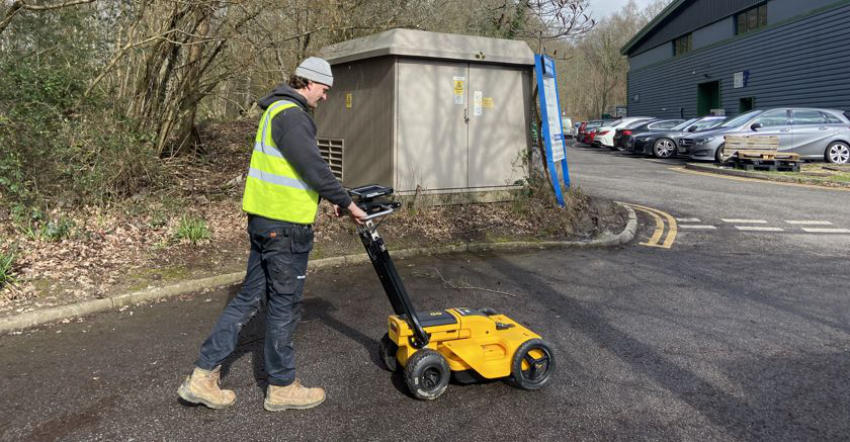
At 3D services we offer underground utility surveys and utility mapping. We have invested in GPR (Ground Penetrating Radar) duel frequency technology and Electromagnetic Locators (EML). Using GPR and Locator we can detect and map both metallic and non-metallic services buried underground. We then produce an accurate underground utility survey which will show position and depths and complies to the PAS 128 standard. • PAS 128 Level D – Desktop utility record search. • PAS 128 Level C – Utility records are validated by visual inspection • PAS 128 Level B – Underground utilities are detected by geophysical techniques. For example, Electromagnetic Location (EML) survey and/or Ground Penetrating Radar (GPR). • PAS 128 Level A – Underground utilities are observed, excavated or exposed.


© Copyright 2016 3D Services (South East) Ltd

Underground Surveys
At 3D services we offer underground utility surveys and utility mapping. We have invested in GPR (Ground Penetrating Radar) duel frequency technology and Electromagnetic Locators (EML). Using GPR and Locator we can detect and map both metallic and non-metallic services buried underground. We then produce an accurate underground utility survey which will show position and depths and complies to the PAS 128 standard. • PAS 128 Level D – Desktop utility record search. • PAS 128 Level C – Utility records are validated by visual inspection • PAS 128 Level B – Underground utilities are detected by geophysical techniques. For example, Electromagnetic Location (EML) survey and/or Ground Penetrating Radar (GPR). • PAS 128 Level A – Underground utilities are observed, excavated or exposed.


